Illustration by Max Gordon
The GoPhillyGo App and a new SEPTA planhelps bicyclists get from here to there
By Alex Vuocolo
For all its daily inconveniences, from bad weather to bad drivers, there’s still a certain seamlessness to getting around by bicycle: cyclists like me hop on the seat, ride to our destination and lock up on the nearest street sign. No putting coins in parking meters, buying tokens or filling up the gas tank.
But riding a bike gets more complicated when you have to switch to another kind of transportation, like a bus or train, in the middle of a trip. It’s a concept called “multi-modalism,” and making that transition from bike to bus seamless is key to getting more people to take at least part of their trip by bike. Philadelphia has some of the highest bike commuting rates in the country, but the city and region’s bike network is incomplete and in some places nonexistent. A bike can only get someone so far: even devoted cyclists must also rely on public transit.
Progress is in the works: the SEPTA Cycle-Transit Plan, released in April, will improve the overlap between cycling and transit. The plan proposes upgrades—such as enclosed bike parking and educational signage—aimed at making it easier for cyclists to get to and park at transit stations. It also proposes modifications that would make more room on subway cars for bikes, which are currently prohibited during rush hour, exactly when we want to get more cars off the road. This is the first plan of its type, however, and SEPTA is only just beginning to think about how to accommodate cyclists who also want to use a bike or bus during their trip.
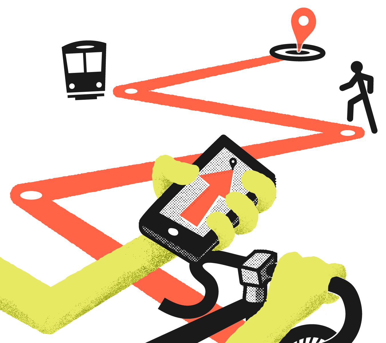
While SEPTA is making changes, bikers can try GoPhillyGo, a new app that’s attempting to make multi-modal travel easier for cyclists and pedestrians. Spearheaded by the Clean Air Council and built by local GIS software firm Azavea, the app helps users plugging in a destination and determines how to get there by a combination of cycling, walking or transit.
Like other routing apps, you begin by entering a starting point and a destination. Similar to Google Maps, it also allows you to select a mode of transportation. The difference is that you can check off transit and bike, creating a route that employs both modes. Other routing apps may generate a multi-modal trip, but this allows you to establish that you want to use multiple modes from the beginning.
In most cases, that means riding a bike for the first and last stretches of a journey. The directions it gave me for getting to my parents’ house in Delaware County, for example, included a bike ride to Suburban Station, where I would jump on the R3, then a bike trip from the Media station to my parents’ house. Based on my experience, the route was the most sensible (and safe) available.
GoPhillyGo, like many apps that claim to be game changers, can only go so far in alleviating what is a systemic problem. But it acknowledges an important fact: we bikers are an adaptive bunch. We are used to working within a system that’s not built for us and using clever workarounds to carve out our own space on the streets. GoPhillyGo won’t make extra room for cyclists on subway cars. It won’t add bike racks to trolleys, or more places to lock up at transit stations; we’ll have to wait for SEPTA for that.
What it can do is make it easier for bikers and would-be bikers to more easily use public transportation, and to take some of the uncertainty out of our journey.
Alex Vuocolo is a freelance writer and co-founder of SPOKE magazine, a free print quarterly about cycling in Philadelphia.