Flooding is the reason for the FDR Park master plan. It also could be its undoing.
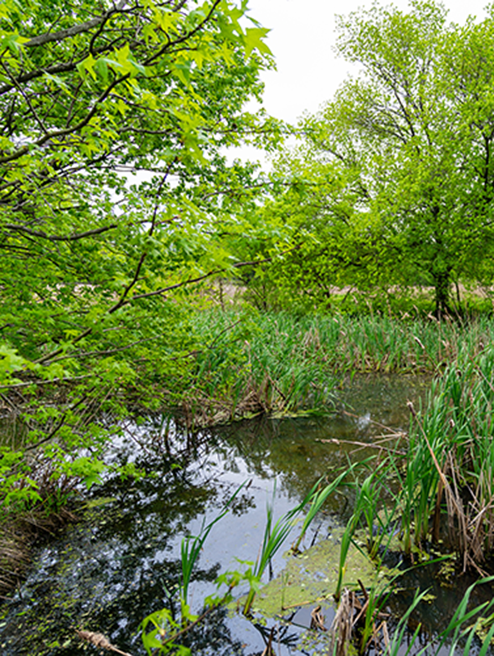
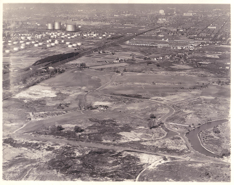
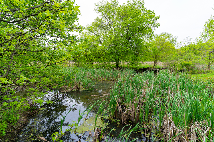
No one denies that FDR Park has been growing soggier over the years. Paths that once led walkers around the “lakes” now run through marshy ground at the edge of the water. Stormwater flows off of I-95 and the surface streets bounding the park. Water seeping up through the ground erodes road surfaces. Chronic flooding of the golf course led Philadelphia Parks & Recreation to close it in 2019.
The question, according to Joshua Lippert, an environmental advocate in Philadelphia who until recently served as the city’s flood plain manager, is whether it is worth putting any new development in the path of what is sure to be worsening flooding as global warming raises sea levels and brings more intense storms to Philadelphia.
Although it is conventional to refer to a fixed “sea level” when discussing elevation or the impact of rising water levels, the sea rises and falls twice a day with the tides, and those tides push water up Philadelphia’s rivers. FDR Park is shaped roughly like a square basin with much of its surface below high tide on the nearby Delaware River. A tide gate at the Navy Yard keeps water from flowing into the tidal Hollander Creek, which drains the park, but lets it out as the tide recedes. “[T]he tide gate only partially works,” however, according to the FDR Park master plan (p. 35). With global warming lifting tides higher on the Delaware and producing heavier, flooding storms, the park is bound to get even soggier.
The renovations outlined in the master plan address the kind of flooding the park sees routinely. The Philadelphia International Airport will excavate new wetlands at FDR Park (to mitigate the loss of wetlands near the airport thanks to a cargo services expansion). Earth excavated as part of the wetlands project will be used to elevate other sections of the park high enough to avoid groundwater flooding. The airport will also repair the tide gate.
Nonetheless the park will still be vulnerable to water flooding in from the Delaware. Most of the park sits inside a FEMA special flood hazard zone, which has a 1% chance of flooding in a given year (formerly known as a “100 year” floodplain). More of the park sits inside the 0.2% flood hazard zone (formerly the “500 year” floodplain). These are areas at risk of flooding during a major coastal storm like a hurricane or tropical storm, when heavy winds push water inland.
Virtually everything built in FDR Park is vulnerable to this kind of storm damage and will only become more vulnerable with time, says Lippert.
Global warming and its resulting sea level rise will increase the odds of a hazardous flooding in a given year, though how much depends on whether the world successfully limits emissions. Average sea level is projected to increase by about a foot in 30 years, and as much as seven feet by the end of this century according to the National Oceanic and Atmospheric Administration (NOAA). Flooding will become more frequent. NOAA predicts that “major (often destructive)” flooding will happen five times as often as it does today in 2050, and “moderate (typically damaging)” flooding 10 times as often.
The Master Plan proposes several structures in the park, including elevated boardwalks, a pavilion, a new maintenance building and concession stands. Historic buildings like the bathhouses at the southeast corner of the park and the guardhouse at the northeast corner will be repurposed for public use. The city is taking measures to make at least some of these buildings less vulnerable to flooding. For example the guardhouse, which is being turned into a welcome center, will have mechanical and electrical systems relocated from the basement to the third floor and flood-proof materials in low areas of the building, according to Cari Feiler Bender, a public relations consultant for the Fairmount Park Conservancy, the nonprofit hired by the city to implement the master plan.
The more we increase risk, the more it increases all kinds of costs.”
— Joshua Lippert, environmental advocate and former City flood plain manager
For a preview of what a major coastal storm can do to urban parks, Philadelphians can look north. At the end of October 2012, Hurricane Sandy ripped through New York City, flooding nearly 5,700 acres of park and causing nearly $800 million in damage.
As New Yorkers learned, the damage extended beyond buildings. Synthetic turf fields, for example, were wrecked by the storm’s flooding. According to the NYC Parks Design and Planning for Flood Resiliency guidelines (pp. 121-123), there are two kinds of synthetic turf fields—carpet and infill—and both are vulnerable to severe damage from floodwaters. Infill fields have a layer of loose rubber material filling amid the plastic grass blades, and this layer can wash away. Floodwaters mixed with sewage or chemical pollution can contaminate the infill materials, and flooding can loosen the seams holding sections of the field together. Flooding can also loosen the seams of carpet style fields, which use a layer of padding beneath the carpet of plastic grass blades.
“Synthetic turf is generally not recommended for installation in the floodplain,” according to the NYC Parks guidelines. Natural turf, by contrast, “is a resilient surface for the floodplain.” Real grass requires more routine maintenance than synthetic turf fields and can be damaged by storms. “Natural turf is, however, inexpensive to restore and is better to use in floodplain parks than many costlier materials.”
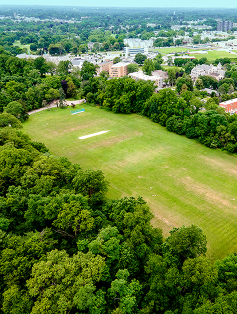
The FDR Park master plan calls for 12 synthetic turf fields. According to Feiler Bender, it is too early in the planning process to say at what elevation above sea level they will be built and what kind of synthetic turf they will be. The master plan estimates that the turf fields will cost $76 million to build.
Overall the FDR Park construction costs are projected at $197 million. It is impossible to say exactly how much it will cost to repair and restore them and other expensive park elements after a major coastal storm like Sandy, but by choosing to place them in the path of coastal flooding, the city puts Philadelphia taxpayers on the hook to pay for the cleanup. Lippert says, “The more we increase risk, the more it increases all kinds of costs.”


